Earthquake Alerts & Live Map
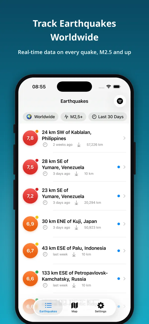
Earthquakes shows the latest earthquakes around the world the moment they are reported — with official data from the USGS, the EMSC and Türkiye's AFAD.


Screenshots
About this app
Earthquakes shows the latest earthquakes around the world the moment they are reported — with official data from the USGS, the EMSC and Türkiye's AFAD.
Whether you live near a fault line, have loved ones in a quake-prone area, or simply want to stay informed, Earthquakes keeps you a step ahead with real-time data, clear maps, and timely alerts — and now a whole toolbox for understanding earthquakes.
KEY FEATURES
- Real-time worldwide list from the USGS, EMSC and AFAD. Your country is detected automatically on launch.
- Smart alerts: get notified when an earthquake passes the magnitude you choose.
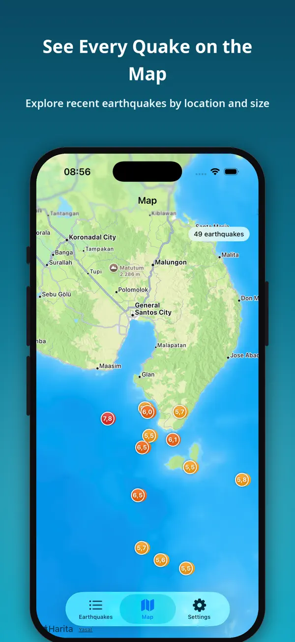
- Near Me: earthquakes around your location, sorted by distance, with an adjustable radius.
- Powerful filters by country, magnitude, and time. If the last 24 hours were quiet, the list widens on its own.
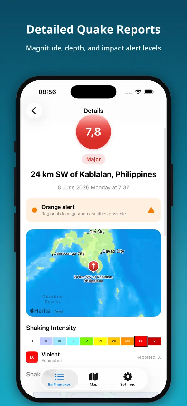
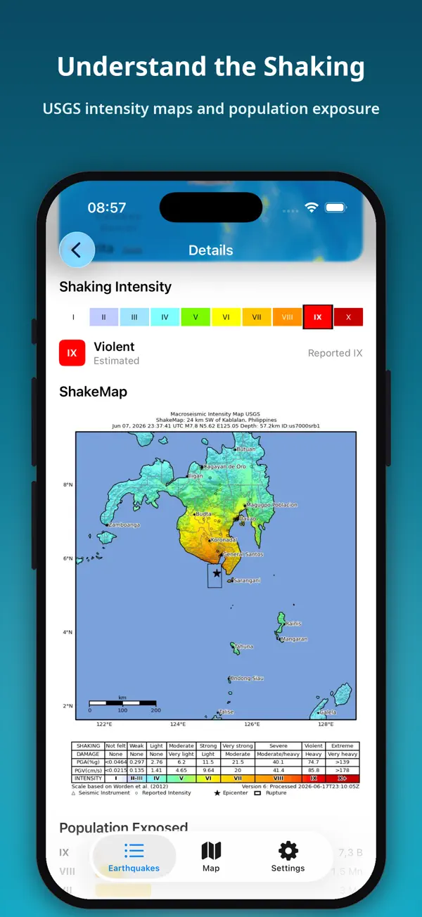
- Full details for every event: magnitude, depth, exact time, an interactive map, ShakeMap shaking, felt reports, and PAGER impact.
- Home Screen and Lock Screen widgets, and earthquake cards you can share in seconds.
- Works offline — earthquakes you have loaded stay available without a connection.
NEW: TOOLS
- Fault Map: the active faults in your country, and how far the nearest mapped fault is from you.
- Historical Earthquakes: more than 2,400 great earthquakes from 2150 BC to today, with deaths, damage, and tsunamis.
- Volcanoes, Orogens, and Nuclear Power Plants maps, each opening on your country.
- Magnitude Comparator: see why an M7 releases about 32 times the energy of an M6.
- Rupture Size: how long a fault breaks in an earthquake, drawn to scale over your own city.
- Intensity Scale and Shake Simulator: what each level of shaking feels like — and feel it through your phone.
- Home Safety Check, Be Prepared, Emergency Mode (whistle and flashing light), and I'm Safe.
- Statistics: charts for the earthquakes in your list.
GEOLOGY ON EVERY MAP
- Fault lines, plate boundaries colored by type (convergent, divergent, transform), and plate names.
- Orogens, volcanoes, and nuclear power plants as layers — on the earthquake details map too.
FOR EVERYONE
- 26 languages with an in-app language switcher.
- Light, dark, and system themes.
- A clean, modern, distraction-free design.
PRIVATE & FREE
- Completely free to download and use.
- No sign-up or account required.
- Location is used only for Near Me and distances, and only if you allow it.
Earthquake data: USGS, EMSC and AFAD. Faults: GEM. Volcanoes and historical earthquakes: NOAA.
Please note: alerts arrive after an earthquake has been reported by the agencies — this is not an early-warning system. This app is an informational tool and not a substitute for official emergency alerts.
- Category
- Weather
- Price
- Free
- Works on
- iPhone, iPad & Android
- Requires
- iOS 17.6 or later
- App Store
- Download
- Google Play
- Download
- Languages
- 21
- Size
- 26.8 MB
- Version
- 3.2.2
- Updated
- Oct 28, 2026
- Privacy
- Privacy Policy
More apps

GIF Maker & GIF Search: Memes
GIF Maker & GIF Search: make your own GIFs from videos, Live Photos and photos, find the perfect GIF, sticker…

LatLong: Find GPS Coordinates
LatLong finds the exact GPS coordinates of any place and gives them to you in every format you need — with 14…
World Time - UTC Clock
World Time – UTC Clock is a clean, modern world clock, UTC clock and time zone converter for travelers,…